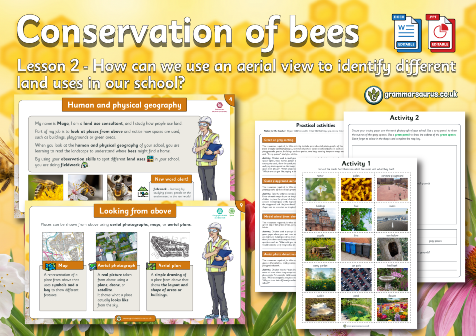
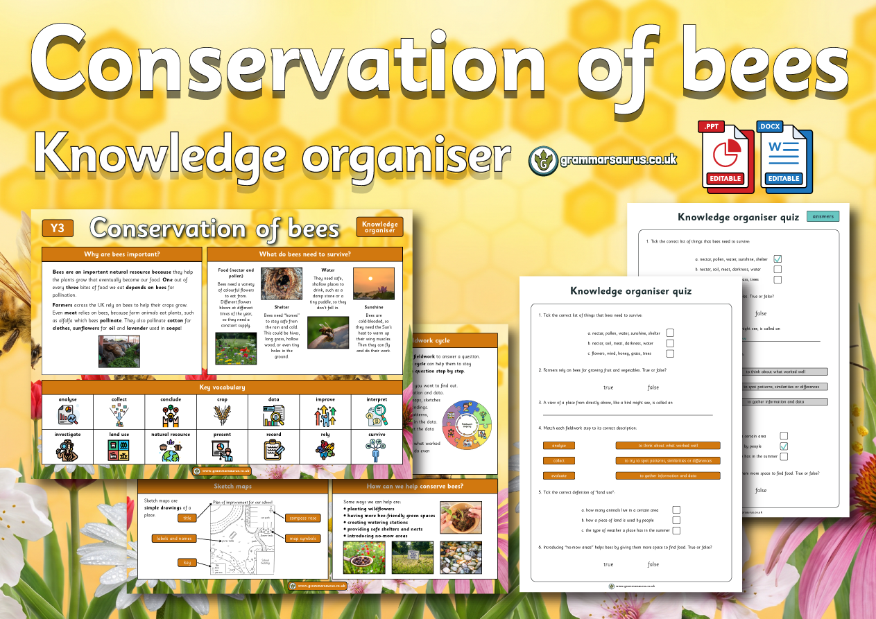
This geography lesson focuses on using aerial photographs to identify different land uses within children's school grounds. The file contains the following resources: - an editable lesson plan - an editable lesson presentation - editable main activity - editable recap activity and stop and jot activity - focused assessment sheet - alternative practical activity ideas National curriculum objectives:Geography: Year 3 Pupils should be taught to describe and understand key aspects of human geography, including: types of settlement and land use.
Updated to the Grammarsaurus Curriculum 2.0...
Hello,
Downloads are for members of Grammarsaurus only.
Please sign up below or login if you are already a member.
Hi! Sign in Or Solo sign up Or School sign up