Solo sign up
 School sign up
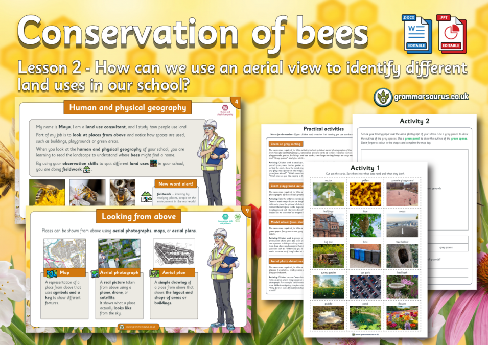
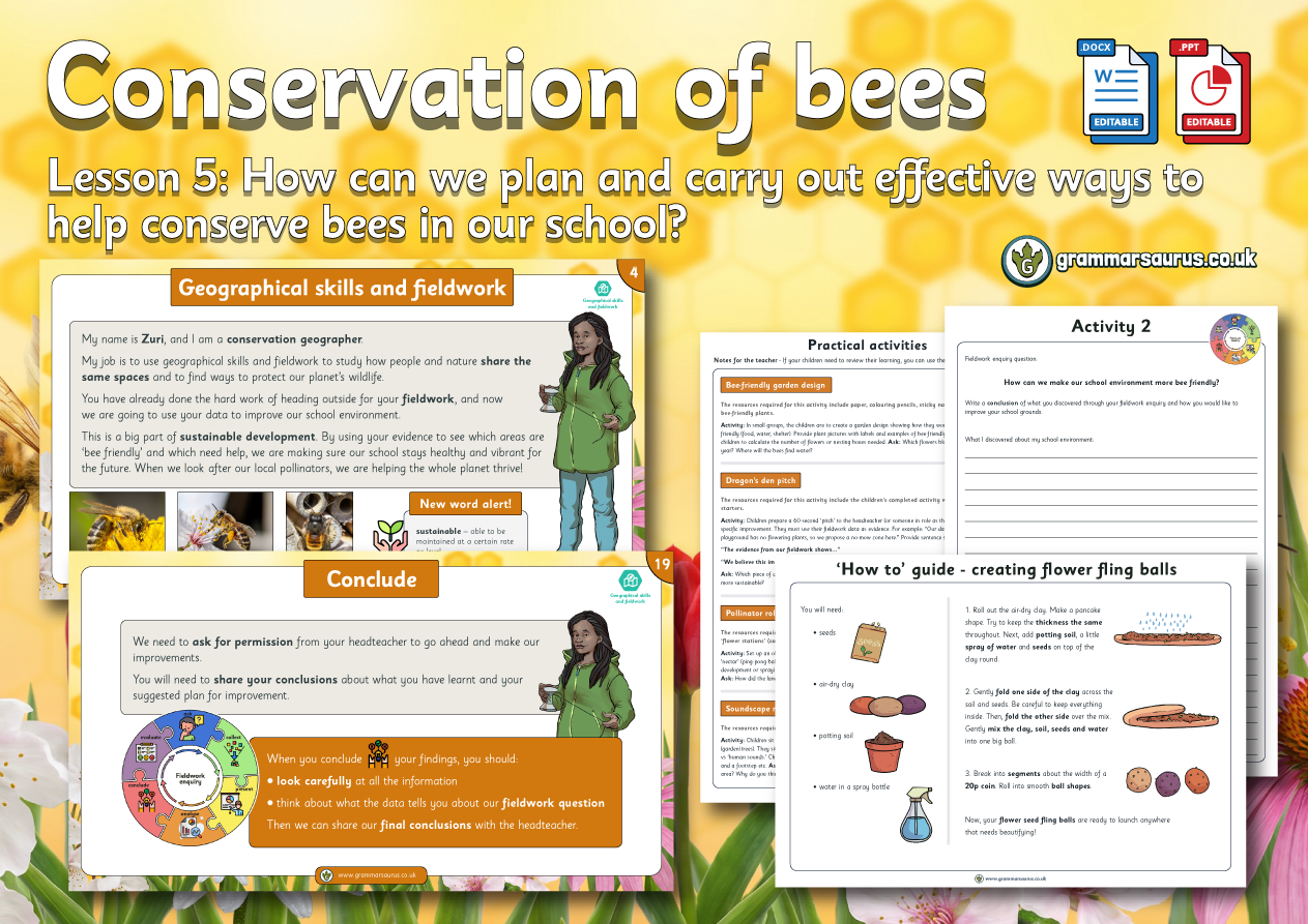
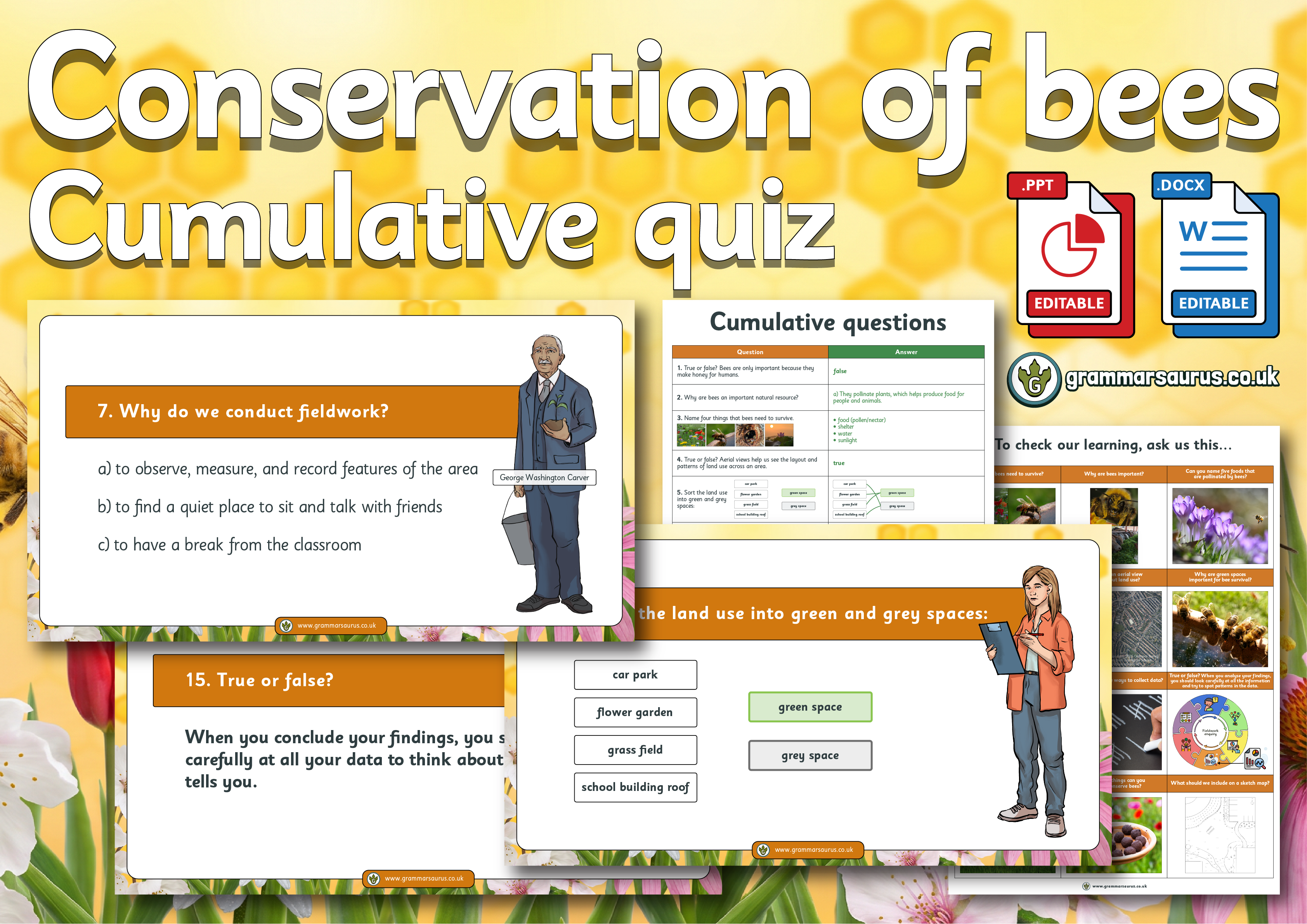
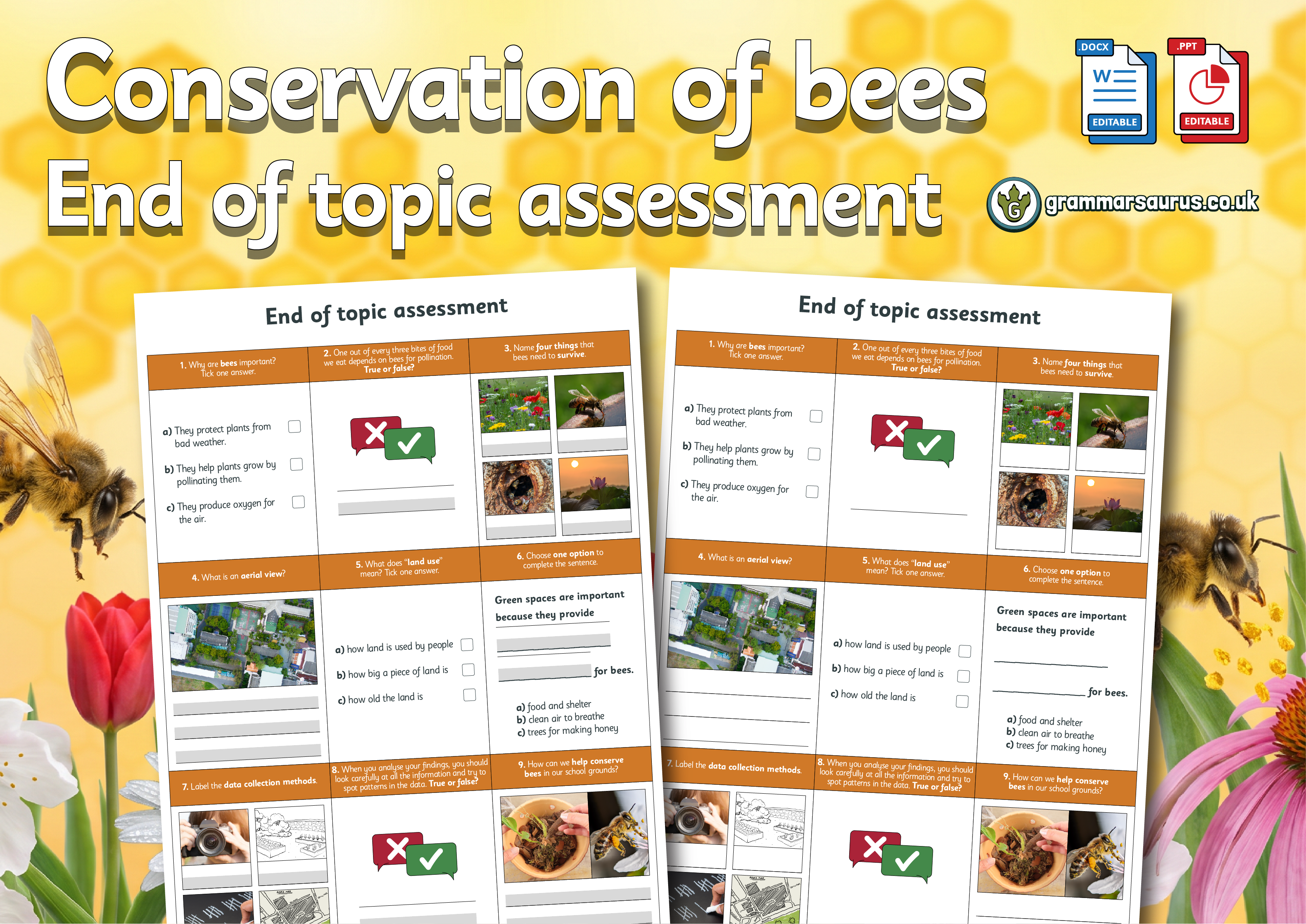
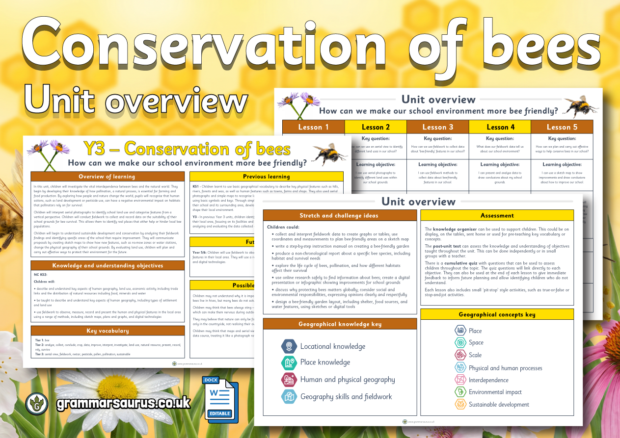
Year 3 Geography – Conservation of Bees – How can we use an aerial view to identify different land uses in our school? Lesson 2
Year 3 Geography – Conservation of Bees – How can we use an aerial view to identify different land uses in our school? Lesson 2