Y4 Locality Unit – Can I draw a sketch map of my Blackpool locality? Lesson 4
Y4 Locality Unit – Can I draw a sketch map of my Blackpool locality? Lesson 4
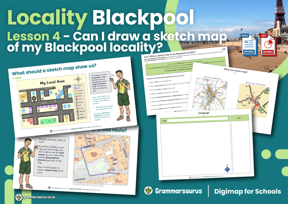
This differentiated geography lesson focuses on creating sketch maps to represent a locality of Blackpool, including human and physical features and local landmarks.
The file contains the following resources:
– an editable lesson presentation
– editable differentiated activities (lower, middle and higher ability)
– an editable challenge activity
– an editable lesson plan
– an editable lesson presentation
– editable differentiated activities (lower, middle and higher ability)
– an editable challenge activity
– an editable lesson plan
National curriculum objectives:
Geography: Year 4
Geography: Year 4
Pupils should be taught to use digital maps (Digimap for Schools) to observe, record and present the human and physical features in the local settlement using a sketch map.

