Solo sign up
 School sign up
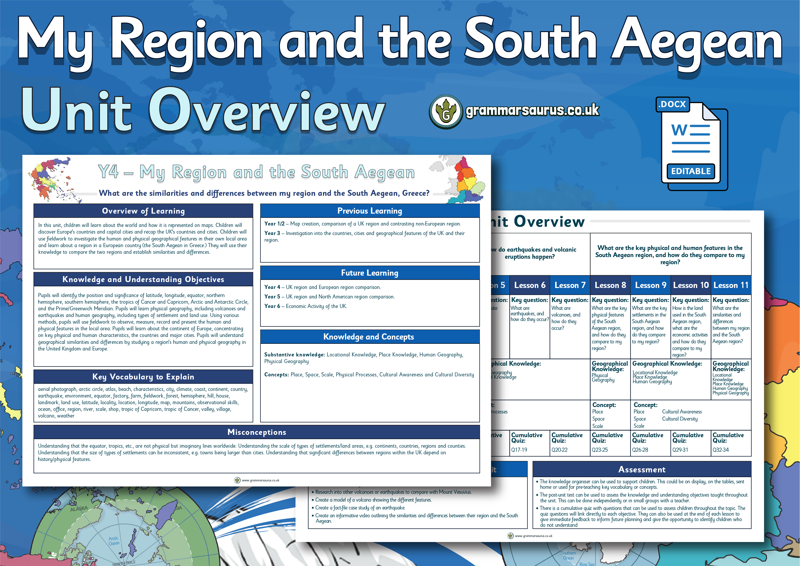
Year 4 Geography – My Region and the South Aegean – How is the world represented on maps and globes? Lesson 1
Year 4 Geography – My Region and the South Aegean – How is the world represented on maps and globes? Lesson 1
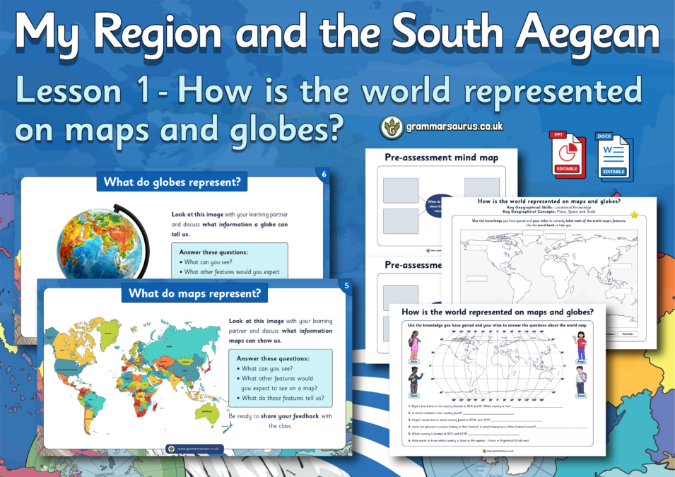
This differentiated geography lesson focuses on how the world is represented on maps. The file contains the following resources: - A lesson presentation - Differentiated activities (lower, middle and higher ability) - A challenge activity - Activities within the presentation - A lesson plan National curriculum objectives: Geography: Year 4 Pupils should be taught to identify the position and significance of latitude, longitude, equator, northern hemisphere, southern hemisphere, the Tropics of Cancer and Capricorn, Arctic and Antarctic Circle, the Prime/Greenwich Meridian and time zones. ...
Hello,
Downloads are for members of Grammarsaurus only.
Please sign up below or login if you are already a member.
Hi! Sign in Or Solo sign up Or School sign up