Year 5 Geography – Biomes and ecosystems – How can I use maps to find out what ecosystems that are in my local area? Lesson 3
Year 5 Geography – Biomes and ecosystems – How can I use maps to find out what ecosystems that are in my local area? Lesson 3
Downloads are for members of Grammarsaurus only.
Description
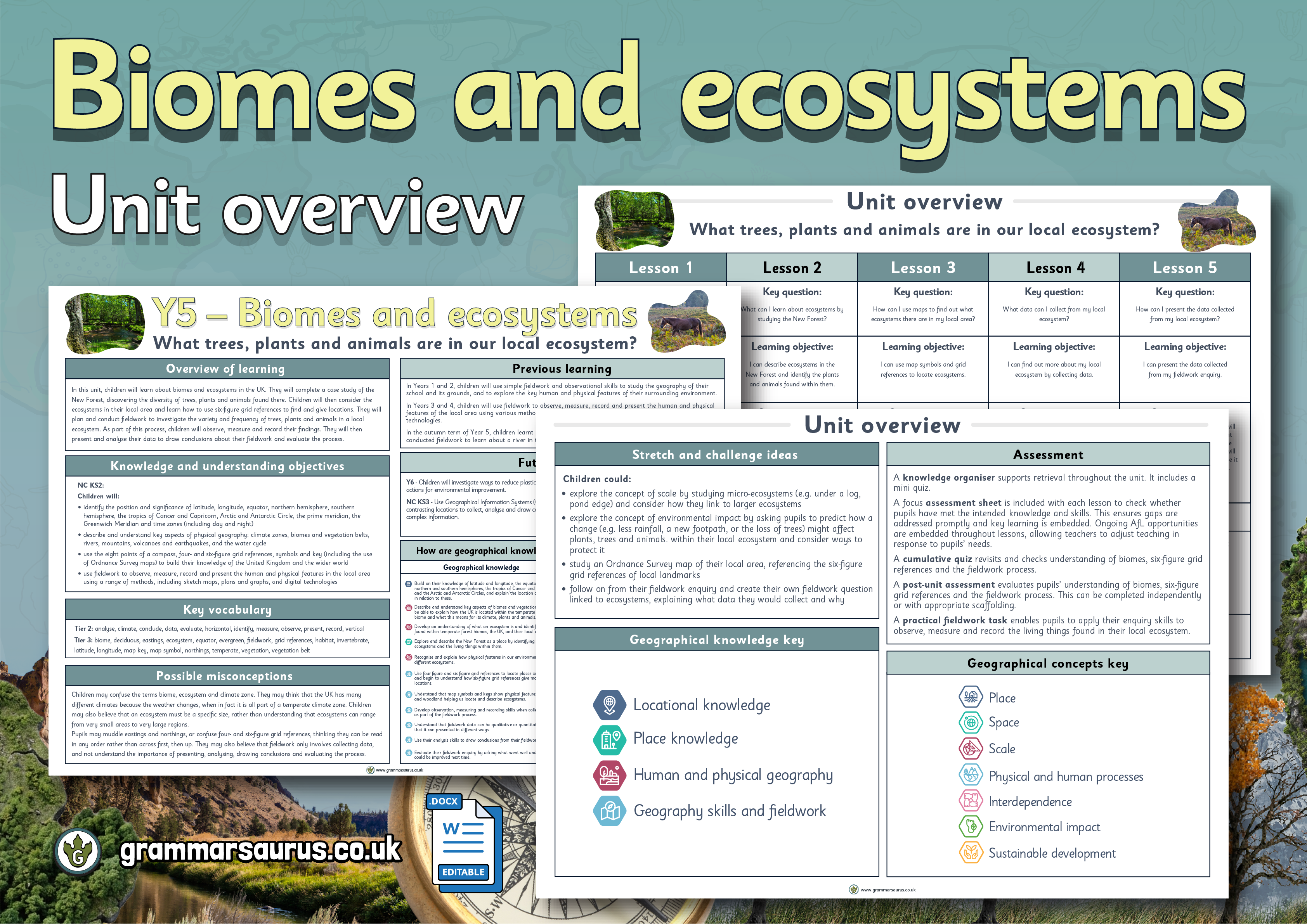
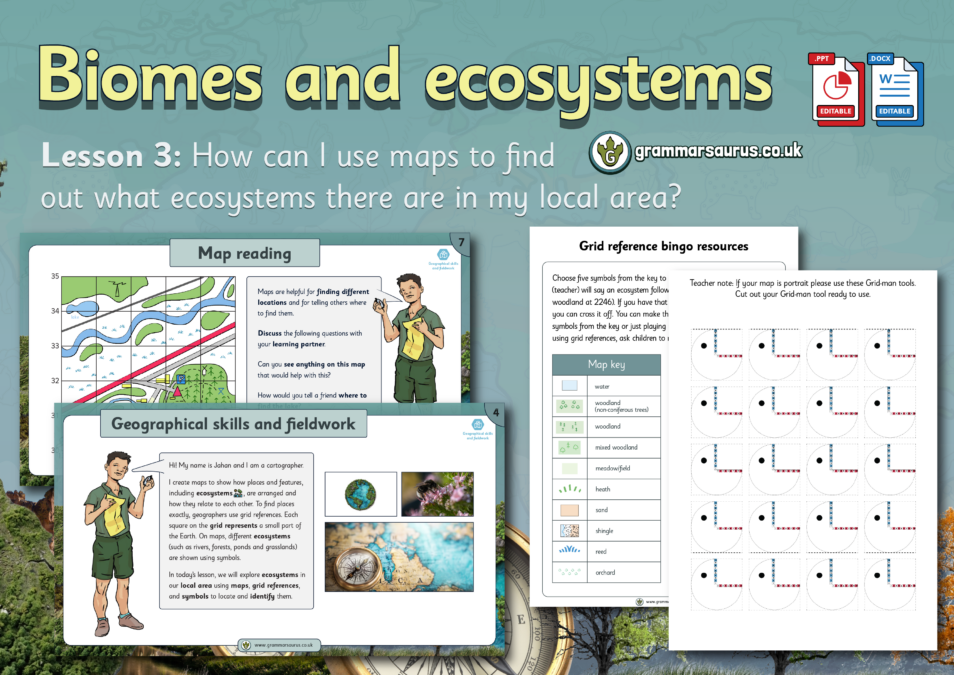
This adapted geography lesson focuses on using four-figure grid references to locate ecosystems on a map. Children will focus on ecosystems in their local area and identify these using map symbols and keys.
The file contains the following resources:
– an editable lesson presentation
– editable adapted activities (including scaffold and stretch)
– an editable lesson plan
– practical activity ideas with resources
– an editable lesson presentation
– editable adapted activities (including scaffold and stretch)
– an editable lesson plan
– practical activity ideas with resources
National curriculum objectives:
Geography: Year 5
Children will:
Geography: Year 5
Children will:
- describe and understand key aspects of physical geography
- use the eight points of a compass, four-figure grid references, symbols and a key (including the use of Ordnance Survey maps) to build their knowledge of the United Kingdom
- begin to use six-figure grid references
Updated to the Grammarsaurus Curriculum 2.0
Linked resources: