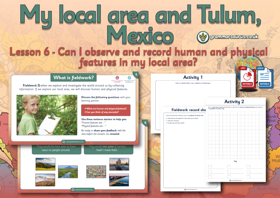
This differentiated geography lesson focuses on using aerial photographs to create a map of the local area.
The file contains the following resources:
- an editable lesson presentation
- editable differentiated activities (lower, middle and higher ability)
- an editable challenge activity
- an editable lesson plan
National curriculum objectives:
Geography: Year 2 Pupils should be taught to use aerial photographs to recognise landmarks and basic human and physical features; devise a simple map; and use and construct basic symbols in a key.
Level of this Pack:
Age: 6-7...
Hello,
Downloads are for members of Grammarsaurus only.
Please sign up below or login if you are already a member.
Hi! Sign in Or Solo sign up Or School sign up